
Waterloo ZIP Areas at a Glance
Census guidance identifies three ZCTAs for the Waterloo postal city. A ZCTA is a Census-made statistical shape that approximates a five-digit delivery area. It is not the route file the Postal Service uses. The Waterloo ZIP code directory therefore treats each number as a starting area, not as a hard city border.
| ZIP | Practical coverage | Postal evidence | Boundary note |
|---|---|---|---|
| 50701 | Waterloo postal-city service, including the main-city context | Waterloo Post Office, 300 Sycamore St; Waterloo Annex, 3314 Marnie Ave | One of three Waterloo ZCTAs, not a city-limit line |
| 50702 | Waterloo postal area, with the Washburn caution | USPS bulletin lists Waterloo IA 50702 | A Washburn place can use 50702 without being legal Waterloo |
| 50703 | Waterloo postal area confirmed in city address data | USPS bulletin lists Waterloo IA 50703 | Confirm each address and municipality separately |
The post office location does not define the whole delivery boundary. The USPS Waterloo Post Office record shows the principal facility and annex details used in the table.
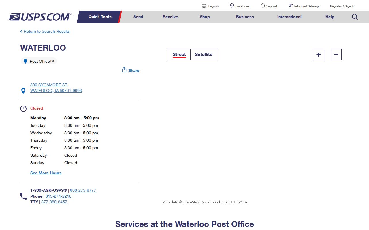
The facility screen is useful contact evidence, while the full-address lookup remains the better source for a particular delivery point.
Waterloo ZIP Is Not City Limits
The Census says Waterloo's postal city includes most, but not all, of legal Waterloo. It also reaches parts of Elk Run Heights and Hudson and unincorporated Black Hawk County, including Washburn. That makes 50702 a strong local example: a Washburn CDP address may carry a Waterloo postal ZIP while Census still tabulates the place as Washburn.
The distinction affects property, civic, and family-history searches. A mailing label answers where mail routes. A municipality answers which local government covers the site. A ZCTA supports statistics. Preserve all three values rather than forcing them to match.
The Census explanation of USPS and Census city geography documents the mismatch and Waterloo's three-ZCTA pattern.
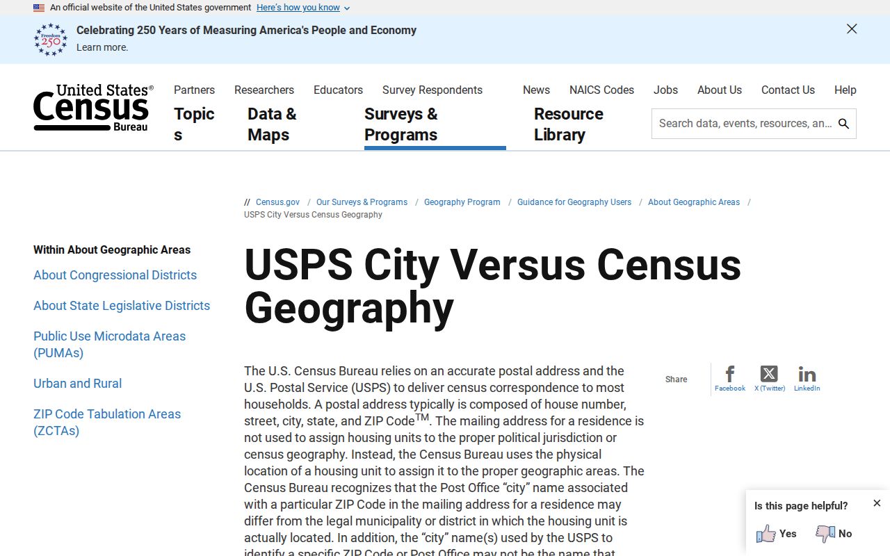
This view supports a boundary check, not a list of Waterloo residents.
Search Waterloo ZIPs by Address
USPS offers three ways to resolve postal geography. The address path is best when a house or unit is known. City-and-state search shows ZIPs recognized for a city name. Cities-by-ZIP returns preferred or recognized city labels. None proves that a person or company occupies the place.
| USPS path | Fields and use |
|---|---|
| By Address | Company optional; street required; unit optional; city and state; ZIP optional |
| By City and State | City and state required; use a full address if several ZIPs return |
| Cities by ZIP | Five-digit ZIP required; note every recognized city returned |
Record the exact unit and city spelling submitted. If USPS offers an alternate, keep both the submitted and standardized forms. This prevents a later parcel or directory search from losing the original address wording.
Use Waterloo ZCTA Data Carefully
Census ZCTAs generalize ZIP areas for statistics because delivery routes are not Census geography. The American Community Survey supplies ZCTA data in five-year products beginning with 2011, while economic tables may use five-digit ZIP fields. Always name the dataset and year.
The Census ZIP data guidance explains why a ZCTA should not be read as a USPS route.
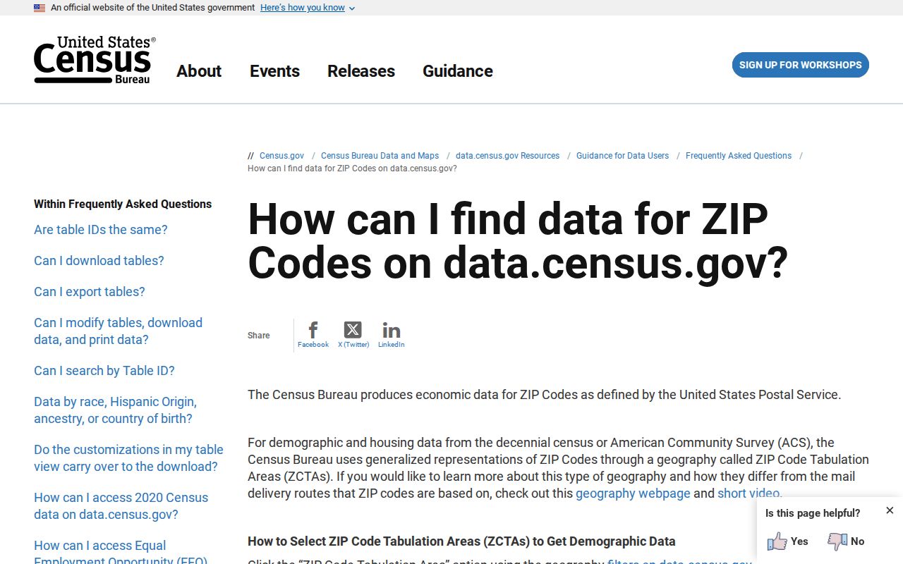
The screen helps locate aggregate data. It does not create a resident list or settle legal jurisdiction.
Query Waterloo Address Points by ZIP
Waterloo's City Address Points service is the strongest verified local ZIP-capable source. It can return a full civic address, road name, ZIP, postal community, legal municipality, unincorporated community, status, and point type. The layer distinguishes House, Utility Asset, and Other points and marks records Current, Pending, Temporary, Retired, or Other.
| Field | What it means | Search caution |
|---|---|---|
| Zip | Postal code stored with the point | Not a municipal boundary |
| Post_Comm | Postal community | May differ from municipality |
| MUNICIPALITY | Legal municipal label | Keep separate from postal city |
| STATUS / POINTTYPE | Record state and kind | A point is not proof of occupancy |
The service caps a response at 1,000 records. A broad query can be incomplete. Narrow by municipality, road, or number range before interpreting the results, then date the query.
Find Waterloo Records Within a ZIP
A ZIP code directory narrows geography before a record-specific search. It should never promise a roll of everyone in the area. Use a short, reproducible chain:
- Run the exact address through USPS, including a unit when known.
- Compare Waterloo's address-point ZIP, postal community, municipality, status, and point type.
- Use Census tools only for ZCTA and place geography or aggregate data.
- For property context, follow the parcel identifier to city GIS and the relevant Black Hawk County office.
- For an individual voter-status check, use the state form with its required name, house number, ZIP, and birth-date fields.
The state voter lookup is a one-person verification tool, not a ZIP browse. Iowa's list-request system uses jurisdiction choices and purpose limits. Once the area has been narrowed to a road, the Waterloo streets reference explains the address-level record chain.
Waterloo ZIP Routing Has Changed
Postal bulletins preserve routing history. A 2007 notice moved 412 deliveries formerly associated with 50706 to a Waterloo 50702 last line. A 2012 bulletin separately recorded Waterloo changes involving 50701 through 50704 and 50707, including revised or deleted entries for 50702 and 50703.
Those notices explain why an older clipping, deed mailing address, or directory entry may not match a current lookup. Retain the ZIP as printed in the old source. Add a modern standardized address in a separate field, with the conversion source and date, instead of silently rewriting history.
Read Waterloo ZIP Terms Correctly
Similar postal terms answer different questions. Keeping them separate makes a Waterloo ZIP code directory more reliable and prevents a broad area from being mistaken for a block or city.
- ZIP code
- A five-digit USPS routing code tied to mail delivery, not a legal city boundary.
- ZIP+4
- The base ZIP plus four digits that narrow a delivery segment, building, or group of boxes.
- ZCTA
- A Census statistical shape made to approximate a ZIP area for published data.
- PO-box ZIP
- A ZIP used for post-office boxes rather than a general street delivery area.
- Carrier route
- A smaller mail-delivery sequence within a ZIP, not a public resident roll.
For every Waterloo result, save the address form, postal city, municipality, ZCTA if used, source, and lookup date. Write “not returned” when a source lacks a value. Never borrow a municipality from a nearby parcel merely because the ZIP matches.
A property question needs one more handoff. The county mapping page routes assessment facts to the Assessor, tax calculations to the Auditor, installments to the Treasurer, recorded transfers to the Recorder, and spatial-layer questions to GIS staff. Those offices are not interchangeable. The Treasurer form can search Black Hawk County by one field at a time: owner name, parcel number, receipt number, or property street address. Its street tip uses the number and road name without the street type. That search may confirm a parcel or receipt route, but it does not prove who lives there.
Historical work also needs restraint. Postal bulletins can explain a changed last line, and an old directory can preserve the wording used in its year. Neither should be converted automatically into today's legal place. Keep the printed label, then append the current USPS result and Waterloo municipal field as separate observations. If they conflict, the conflict is useful evidence about changing geography, not an error to hide.