
Waterloo Neighbor Records by Block
Define neighbors by a visible geography: touching parcels, one street segment, a cross street, association area, ward, precinct, or river corridor. Each official layer offers a dated slice. None supplies a verified household roster.
| Source | What it shows about a block | Access |
|---|---|---|
| City Address Points | Road, number, ZIP, municipality, status, point type | Public ArcGIS service |
| City Properties / TaxParcels | Parcel geometry, PIN, legal and selected land fields | Public ArcGIS service; not certified title |
| Waterloo Zoning | Zone polygons, definitions, ordinance and history fields | Public map service; date the layer |
| IISC neighborhood maps | 31 association areas, wards, precincts, Census tracts | 2020-21 project; recheck boundaries |
| WPL / Grout history | Dated directories, maps, photos, and newspaper context | Library or appointment access |
The owner or deedholder field describes a recorded property interest. It does not establish that the named party occupies the parcel or identify every person nearby.
Map Waterloo Neighbors by Parcel
Use one verified address as the reference geometry. Geometry means the mapped shape or point used for a spatial query. Record the layer, coordinate reference, spatial relationship, result count, and date so the observation can be repeated.
- Standardize the address with USPS and Waterloo Address Points.
- Retrieve the reference parcel geometry and PIN, while withholding deedholder and tax-mail fields from a public summary.
- Select features that touch or intersect the parcel, if the service supports that operation.
- Describe the result as parcel count, street side, zoning mix, or cross-street context.
- Research any ownership question separately through the Recorder and date that instrument trail.
The Waterloo municipal properties layer exposes the parcel schema used for this method.
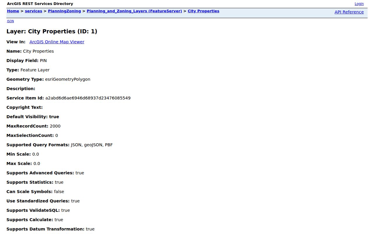
The layer supports parcel context, not a claim that its deedholder label names a current neighbor.
Read Waterloo Zoning Around Neighbors
Zoning adds block context without profiling people. Waterloo's layers include zone codes and definitions, PIN, ordinance or history fields, floodplain, setbacks, lot dimensions, and alley access across the available services. These can explain why adjoining lots look or function differently.
The Waterloo Zoning map service is the official source for the mapped zoning layer.
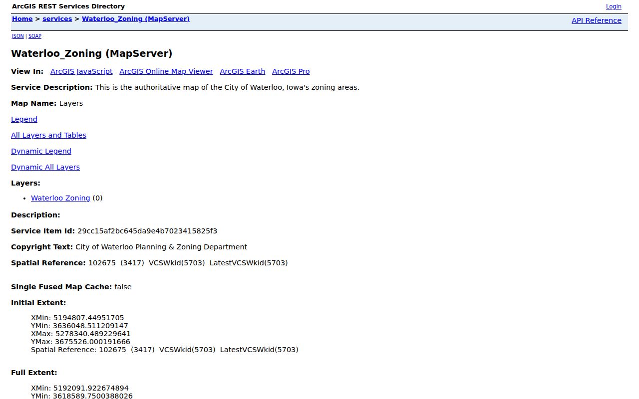
A zoning polygon is not an occupant record. Cite its layer date and verify current ordinance terms before relying on it.
Waterloo Neighbors Across 31 Associations
The University of Iowa's IISC project mapped all 31 Waterloo neighborhood associations during the 2020-21 academic year. Its deliverables also map wards, precincts, Census tracts, and other civic layers. The project is unusually helpful because it shows that a familiar neighborhood, voting district, and statistical area need not share a boundary.
The Waterloo Neighborhood Maps project is the stable source for the deliverables.
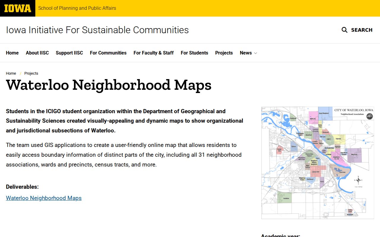
The project page dates the map. Association names, contacts, and boundaries should be checked again before current use.
Association geography
Use the IISC deliverable for mapped areas, then verify current status with the city.
Ward and precinct
Treat election districts as separate layers and use the county elections office for current lines.
Census tract
Use for aggregate statistics, not as a list of Waterloo neighbors.
Place Waterloo Blocks by the River
The Cedar River bisects Waterloo from northeast to southwest, and core neighborhoods sit on both sides. City planning material describes terrain that runs from floodplain to rolling hills and agricultural edges. A short trip across town can therefore cross a river corridor, association line, ZIP, precinct, and land-use setting.
This geographic account is more useful and safer than publishing nearby private names. Note the cross street, river side, ward, association area, and source date. If adjacent parcels fall in another municipality or postal community, record that as a boundary finding.
Waterloo Voter Data Is Not a Block Roster
Iowa's public voter lookup asks for first name, last name, ZIP, house number, and birth month, day, and year. It checks one known registration. It cannot browse a street or block. State list requests offer jurisdictional choices such as county, city, school district, legislative district, and participation or status formats, subject to Iowa Code Chapter 48A limits.
Do not present a jurisdictional voter file as a list of neighbors. Historical election books and city directories may offer dated block clues, but they still require a source year and careful handling. Sensitive identifiers are excluded, commercial use is barred, and a requester log is public.
Compare Waterloo Neighbor Sources
Official records and commercial neighbor tools differ in both scope and reliability. The comparison helps choose a source without assuming that a convenient profile is current.
| Source type | Strength | Limit |
|---|---|---|
| Waterloo GIS | Dated address, parcel, zoning, and civic geography | Not proof of occupancy or certified title |
| County Recorder | Recorded instruments tied to dates and legal land | A deedholder is not every household member |
| Association map | Block-scale community and district context | Boundaries and contacts can change |
| Commercial category | May combine many sources quickly | Provenance, age, matching, and removal terms may be unclear |
For a whole named road rather than one immediate block, use the Waterloo street directory workflow. Keep every claim tied to the office or layer that actually made it.
Check Waterloo Wards and Officials
Ward and precinct layers explain representation and election administration around a block. They should be kept apart from association and ZIP boundaries. Current office information belongs with the Black Hawk County Elections route, while the IISC map supplies dated spatial context.
The Black Hawk County city officials page provides the official Waterloo civic lookup.
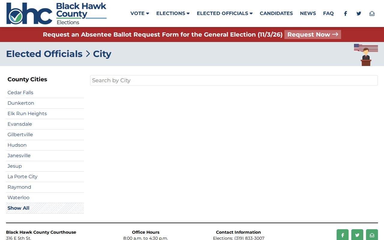
This source connects a mapped ward to public representation without exposing a household directory.
Protect Privacy in Waterloo Neighbor Search
Public access is not permission to assemble personal profiles. Utility accounts, library searches, confidential voter details, and protected addresses are not a neighborhood directory. Iowa Safe at Home can provide a substitute address and confidential voter registration, though it does not erase real-estate records.
Publish aggregate facts such as parcel count, zoning mix, association area, or a historic landmark. Keep complete private addresses and live names out of a block narrative. If a parcel interest must be checked, research it on its own record and quote only what the lawful task needs.
Lawful use. Learn about Waterloo neighbors for civic context, reconnection, or personal safety. Never watch, intimidate, stalk, or harass another person.
Safe at Home is an important limit to remember. Iowa's program can substitute a protected mailing address and provide confidential voter registration. Real-estate records may still exist, so a researcher should not try to connect the substitute address back to a private location. Library confidentiality also covers checkout, request, database-search, internet-resource, reference-interview, and interlibrary-loan records under the cited Iowa policy.
Time changes every block layer. The neighborhood map reflects an academic-year project, a zoning field may refer to an ordinance date, and an address point can be pending or retired. Save the access date and layer name. If a current question matters, check the responsible office rather than treating an old screen capture as live proof.
Historical context offers a safer path for curiosity. Grout photographs, maps, Sanborn material, Waterloo directories, and Courier microfilm can describe how a street scene or institution changed. Publish the era, cross street, landmark, or aggregate pattern. Keep current private names out of the narrative unless a specific lawful record task truly requires them.